
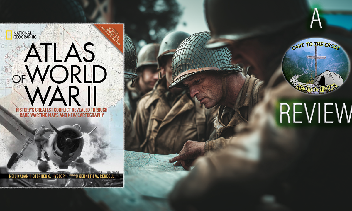
Atlas of World War II – History’s Greatest Conflict Revealed Through Rare Wartime Maps and New Cartography
Synopsis:
This lavishly illustrated National Geographic atlas presents World War II through an extraordinary collection of over 100 rare wartime maps—many reproduced for the first time—alongside newly created cartography using modern satellite data for enhanced terrain detail. From the invasion of Poland to the Pacific theater offensives, Pearl Harbor, the Battle of the Bulge, and beyond, it charts key naval, land, and aerial campaigns with unprecedented clarity. Rare artifacts include Roosevelt’s personal world maps, escape aids hidden in playing cards for POWs, and operational plans from Allied and Axis forces. Enriched with period photographs, eyewitness accounts, and confidential documents, Stephen G. Hyslop’s definitive volume brings the strategic scope and human drama of history’s greatest conflict vividly to life.
Video
Review
I’ve always enjoyed reading and learning about World War II, and now as a middle-aged man, I’m by law to choose World War II or the Civil War to be interested in so I’ll keep my streak alive. For the past couple of years I’ve been tutoring kids in geography and history in classical education. This year I found areas of connection between the two to teach other strands of classical learning. The thing with teaching classical education is that oftentimes you find yourself interested in the 15 skills of learning, so I found the connection between geography and war to be closely linked of course. Having read a number of boots on the ground, first-person accounts, or battles, or generals and other people of note; I have really been getting into what would the generals and leaders see from the birds eye view with a map and a compass. What this NatGeo book does is give a number of detailed maps of campaigns and battles while also walking through the history of pre- to post-World War II. This was so well done. Not just using maps but photos and short write ups explaining the events the maps are showing in this oversized book allowed the perspective I was looking for without getting bogged down in such a detailed map that I would be lost in the description and events. So while not every elevation and land mass was available for me to see, there was enough to see how things like Operation Barbarosa made incurssions into Russia so far and how dramatic the island hoping of the Pacific theater was and what all was going in the Africa theater that gets lost in the details of later developments of the war.
For an introduction in mapping out a historical even this was a perfect book to do so and it’s more than just a coffee table book. You’re not going to cut out any of the maps for a detailed look at a battle, but the overside nature of the book and filled with harrowing descriptions and dramatic photographs made this a useful tool to walk through the history of World War II in a way I wasn’t really used to.
Final Grade
A
Get The Book (And Support The Show)
Cave To The Cross GoodReads Page
 To check out more reviews and see what Patrick’s reading go to his GoodReads page here.
Other book reviews can be found here.